

Do you want to plan water retention in order to mitigate drought, heavy rainfall and falling groundwater levels? We provide hydrogeological support, including for peatland rewetting: from preliminary planning and impact assessment to support with applications for water-balance-related projects. We work throughout Germany for authorities, municipalities, water associations and businesses, including in Brandenburg.
What does water retention mean?
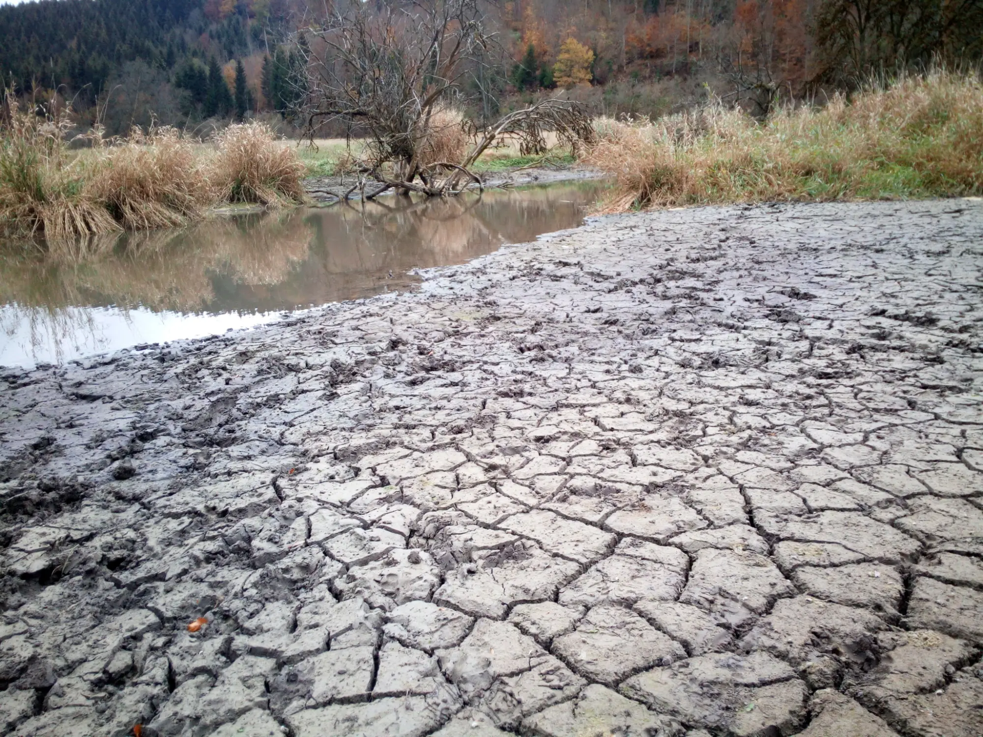
Drought periods are followed by heavy rainfall events. Even years after a drought, groundwater still shows local lows. Water retention means keeping water in the landscape for longer and using natural storage systems such as groundwater. This includes near-natural and decentralized water retention, groundwater retention and infiltration, and peatland rewetting. The aim is a near-natural landscape water balance.
Our services from preliminary planning to the application
- Preliminary design for water retention and peatland rewetting: hydrogeological planning services for measures in the landscape
- Feasibility checks: for example for rewetting a fen area
- Impact assessment: forecasting the effects on the water balance, ecology, and agriculture
- Modeling: groundwater flow modeling, rainfall-runoff modeling, drought modeling, and heavy rainfall hazard analyses
- Technical contributions on the EU Water Framework Directive (WFD) in connection with such projects
- Support with applications for water-balance-related funding projects
An overview of all services: Consulting.
Our Approach
- Initial consultation: clarify the goal, the area, available data, and stakeholders
- Inventory: evaluate existing data, maps, and measurements; own measurements and data loggers where needed
- Water balance and model: describe the current state and calculate measures as scenarios
- Assessment: estimate the effects on groundwater, ecology, and land use
- Report and support: document the results and, if desired, support you in the approval process
Which measures are possible at the site depends on the area, the available data and the goals of the parties involved. We clarify this together in the initial consultation before we begin the inventory.
Measurement data show whether the measures work. We record them project by project on our platform ENOLA®, where they can be updated. This makes it possible to trace groundwater levels before and after measures, see Groundwater monitoring.
Such projects may require a hydrogeological technical basis for water-law procedures, see Hydrogeological Assessment.
Technical basis and references
Alexander Strom works on near-natural water retention and the landscape water balance. He has completed projects for the German Environment Agency and the Federal Agency for Nature Conservation and has contributed technical papers on the landscape water balance to the National Water Strategy of the BMUV. He also takes part in a working group of the DWA , see Commitment.
Our clients are authorities, municipalities, water associations and businesses, and many of our projects are located in Brandenburg.
Under References you will find, among other things, the study of measures for groundwater retention and infiltration on agricultural land in the catchment of the Losse for the Wasserverband Losse (2026), the feasibility check for the rewetting of a fen area at the Ragower Hauptgraben (2024) and hydrological assessments for the Flächenagentur Brandenburg (Wiesenburg/Mark and Kremmener Luch, 2024). Our technical articles are listed under Publications.
An example from practice: For the Zitrone pumping station in the Märkische Schweiz nature park, together with IfÖL GmbH and BÖF-naturkultur GmbH and commissioned by the LfU Brandenburg, we used a water balance model to simulate what a shutdown would mean hydrologically, ecologically and for agriculture, see post on the pumping station.
Non-binding consultation
Frequently asked questions
What is near-natural water retention?
It refers to measures that hold water in the landscape and promote infiltration and groundwater recharge instead of draining it away quickly. Peatland rewetting is part of it.
What does preliminary design for water retention include?
It clarifies which measures are hydrogeologically feasible at the site and what effects they have on the water balance, ecology, and land use. The exact scope depends on the project and the client.
Do I need a hydrogeological assessment for these measures?
That depends on the project and the competent authority. A hydrogeological forecast can be part of the procedure. We are happy to clarify this in a short, free conversation.
Do you help with funding applications?
Yes, we support applications for water-balance-related funding projects. Which funding programs come into question depends on your project.
How can the effect of the measures be demonstrated?
Through measurement data and modeling. Groundwater levels and weather data are recorded and analyzed over the long term, and scenarios can be modeled. We use ENOLA® for this.
Do you also work outside Berlin and Brandenburg?
Yes, we advise throughout Germany. Many of our reference projects are located in Brandenburg.