🌊 New July release with current water levels and more!
🆕 New Features
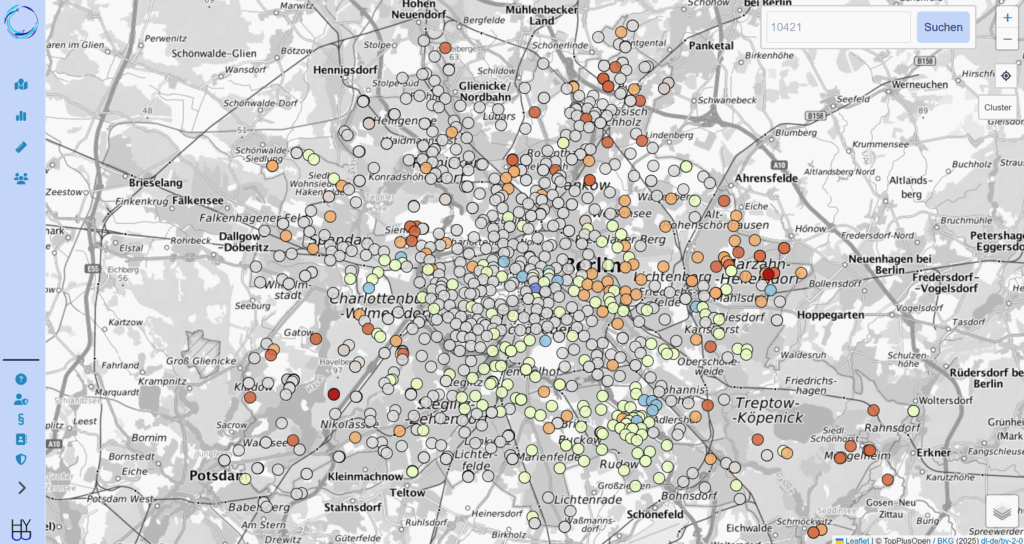
* Current water levels map: The map provides a quick overview of the current status of our water resources. Statistical parameters are calculated in the background for specific measuring points and compared with the latest measured values.
* The following data can now be added:
– Measurement devices
– Measurement methods
– Parameters can be grouped to lists
- Aliases for parameters to simplify findability
* Unit Conversion (API):
- Water levels can be queried directly as ‘metres in the height system’, metres below the upper edge of the pipe or measuring point or metres below ground level
- Quality measurement values can be converted directly into all stored common units, e.g. mg/l N mg/l mmol/l meq/l
💫 Improvements
* Display and interaction on mobile devices with small screens
* Updates to the menu navigation for data and user management
PS: The Berlin groundwater data will remain in the database as standard. In addition, we want to integrate the public groundwater data of other federal states. This requires an individual solution for each federal state. If you would like to contribute your knowledge and contacts, please contact us by DM or e-mail. We will check the integration capability of the current data and IT infrastructure for your public groundwater data free of charge and can make suggestions for a solution via an API interface.